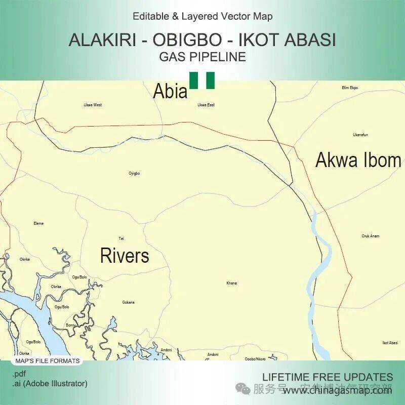
The map contains the 114km Alakiri – Obigbo – Ikot Abasi Gas Pipeline, which starts from Alakiri Pig Launching Station in Okrika, Rivers and ends at ALSCON Terminal Station in Ikot Abasi, Akwa Ibom.
Table of Descriptions
1 Product Details
2 Files Included in This Digital Map
3 Editability of Map
4 Related Upstream/Downstream Pipelines
1 Product Details
- Product Name: Map of Alakiri – Obigbo – Ikot Abasi Gas Pipeline
- Product Type: Vector Map
- Pipeline Length: 114km
- Country: Nigeria
- From: Alakiri Pig Launching Station, Okrika, Rivers
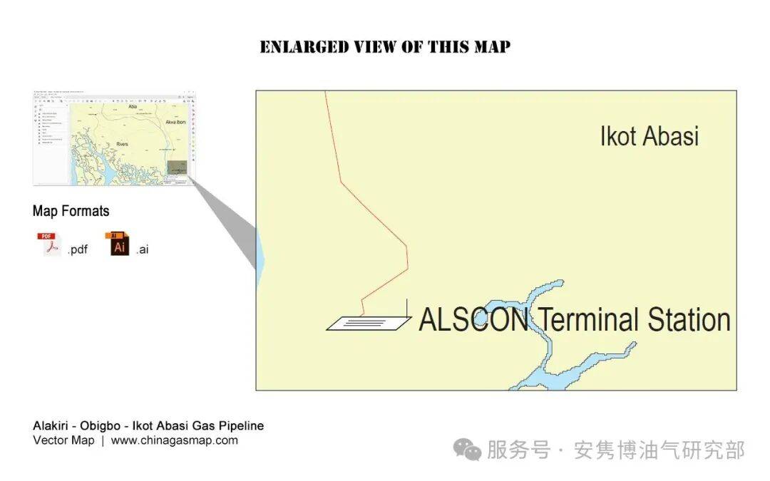
- To: ALSCON Terminal Station, Ikot Abasi, Akwa Ibom
- No. of Pigging Stations, Gas Node, Metering Station: 5
- Coordinate Data: Not Available
- File Formats: Adobe PDF, Adobe Illustrator
- Lifetime Updates: Supported
- Language: English
Note: This digital map is NOT a GIS map or don’t contain coordinate data.
2 Files Included in This Digital Map
[Main Map] Alakiri – Obigbo – Ikot Abasi Gas Pipeline
This map includes the geographical area from the pipeline’s starting point to its end point. Its content contains the pipeline route, stations along the pipeline, and the administrative regions that the pipeline passes through.
Two file formats, .pdf and .ai (Adobe Illustrator), are included. Both of them are editable and layered. Users can show and hide a layer simply with a mouse click.
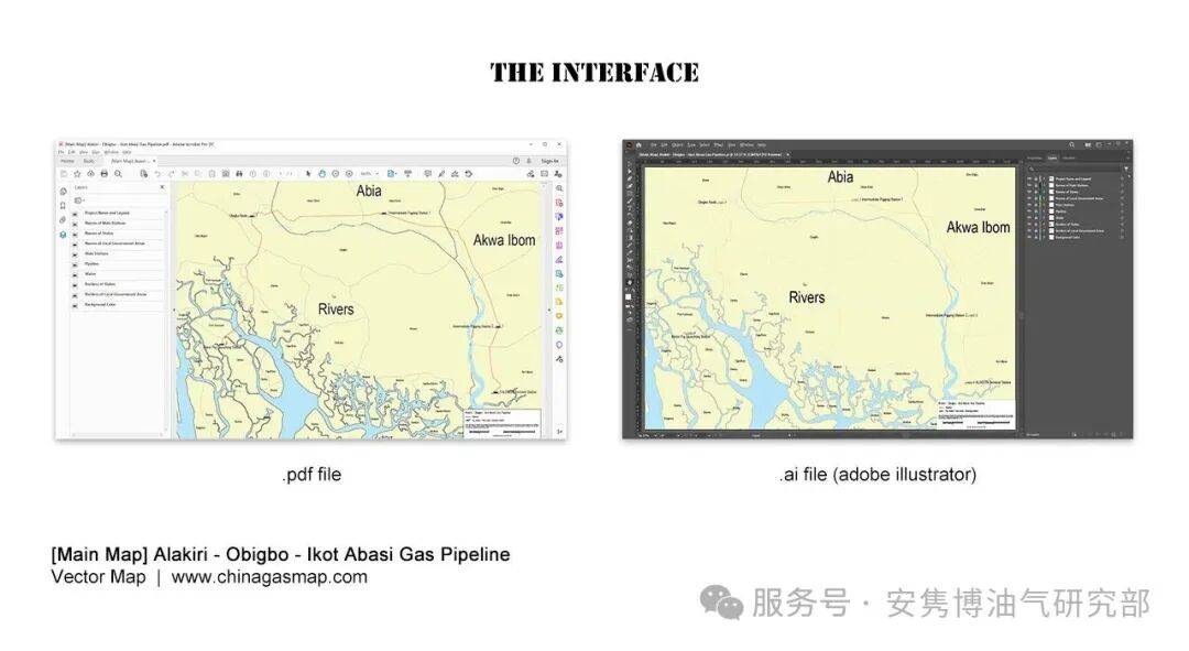
The map consists of following independent layers:
- Project Name and Legend
- Names of Main Stations
- Names of States
- Names of Local Government Areas
- Main Stations
- Pipeline
- Water
- Borders of States
- Borders of Local Government Areas
- Background Color
3 Editability of Map:
Based on the layered digital map (.pdf and .ai), users can perform further development and modifications, including but not limited to:
- Adjusting the position of text and modifying its attributes such as font, font size, and color;
- Adjusting the position and size of icon symbols;
- Modifying the path of oil and gas pipelines to reflect changes caused by rerouting;
- Adding new pipelines and stations;
- Changing the border color and line weight of different administrative regions;
- Modifying the map background color.
4 Related Upstream/Downstream Pipelines:
We also provide digital maps of following direct upstream/downstream pipelines.
Downstream Pipelines:
Ukanafun – Mfamosing Gas Pipeline